Drone & Aerial Location Sets
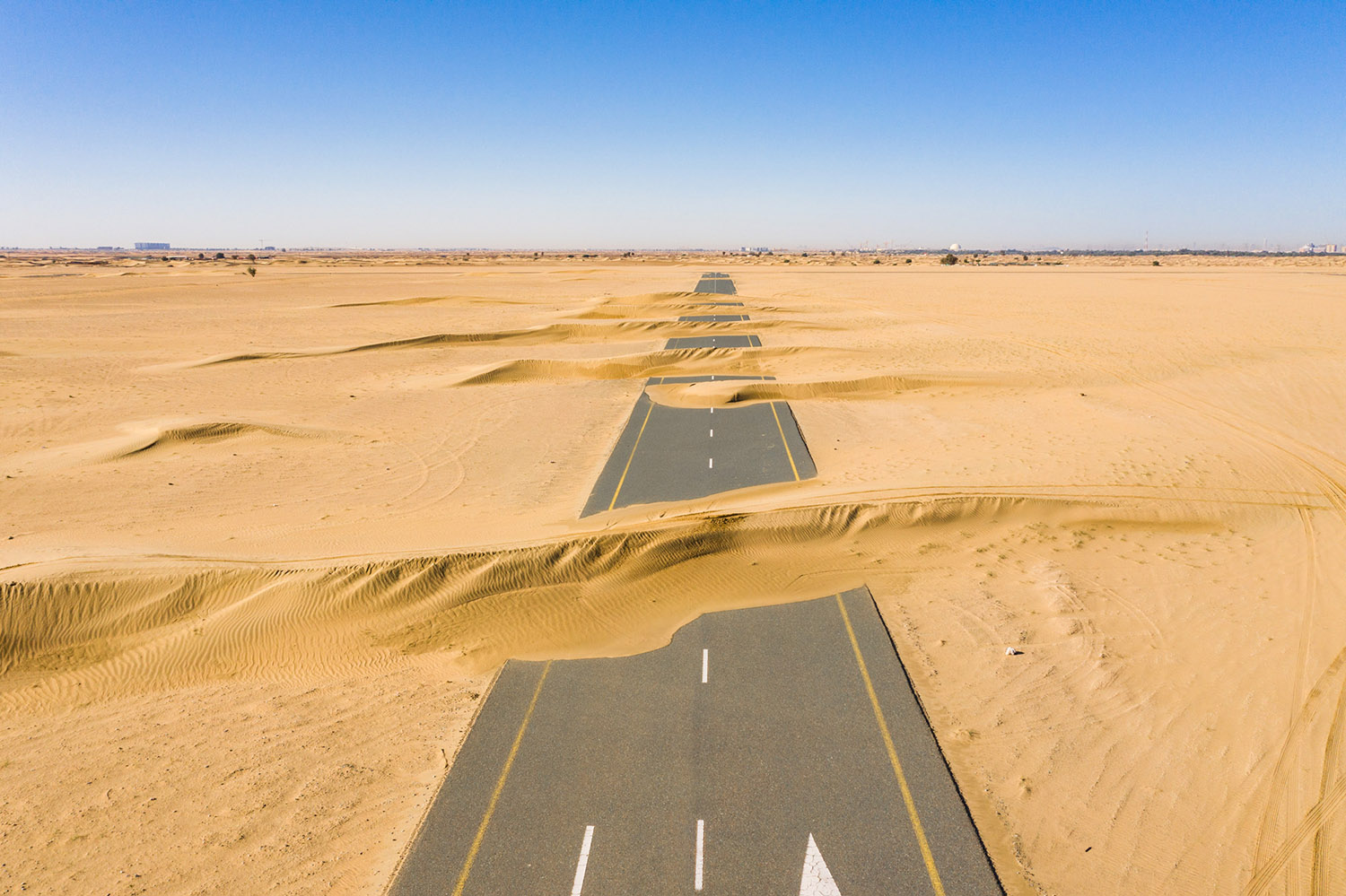
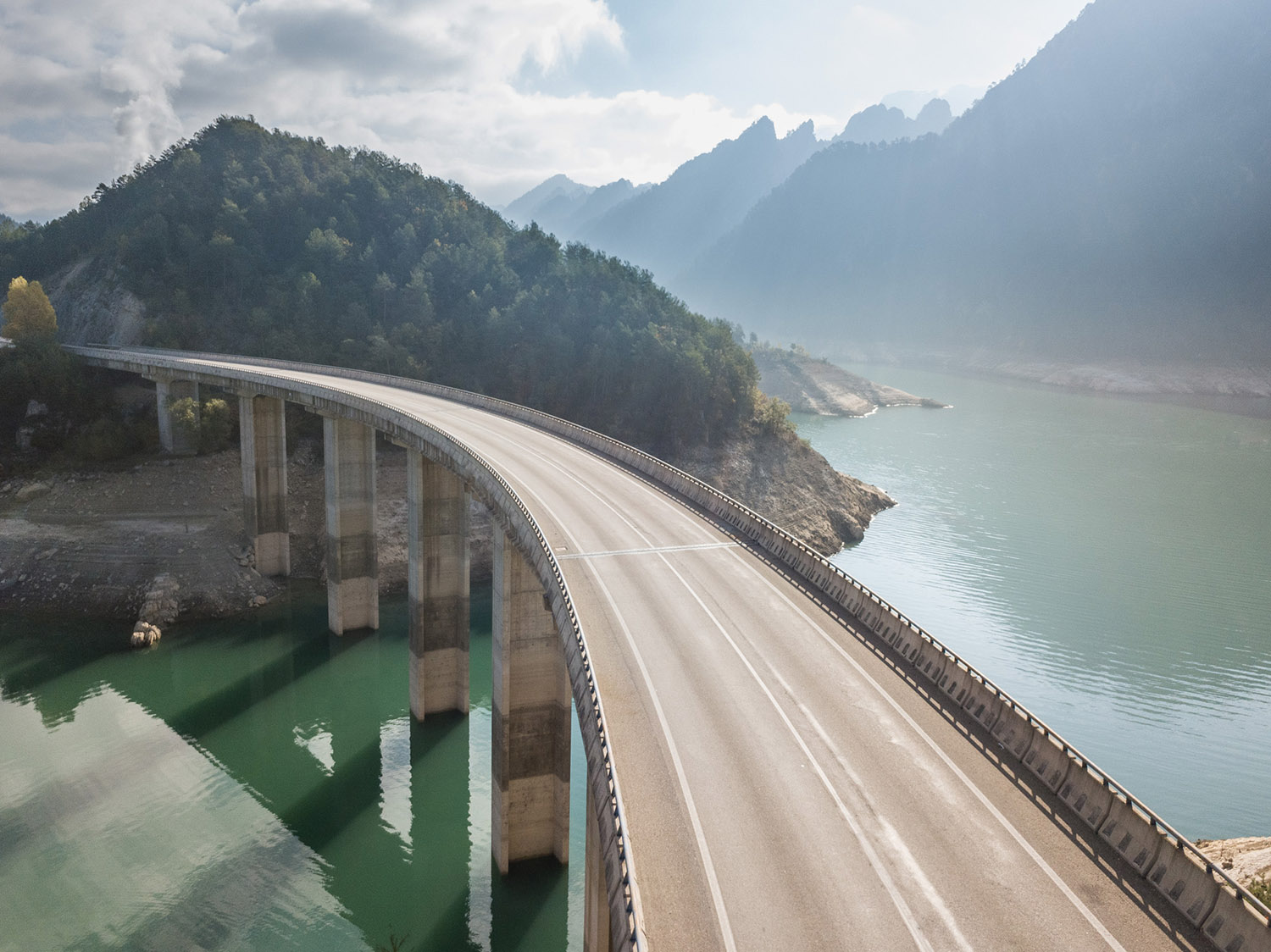
Our drone and aerial location sets are captured with the same precision and creative approach as any of our on the ground productions. They offer extended high viewpoint perspectives, bringing you many new and refreshing angle variants to your scenes.

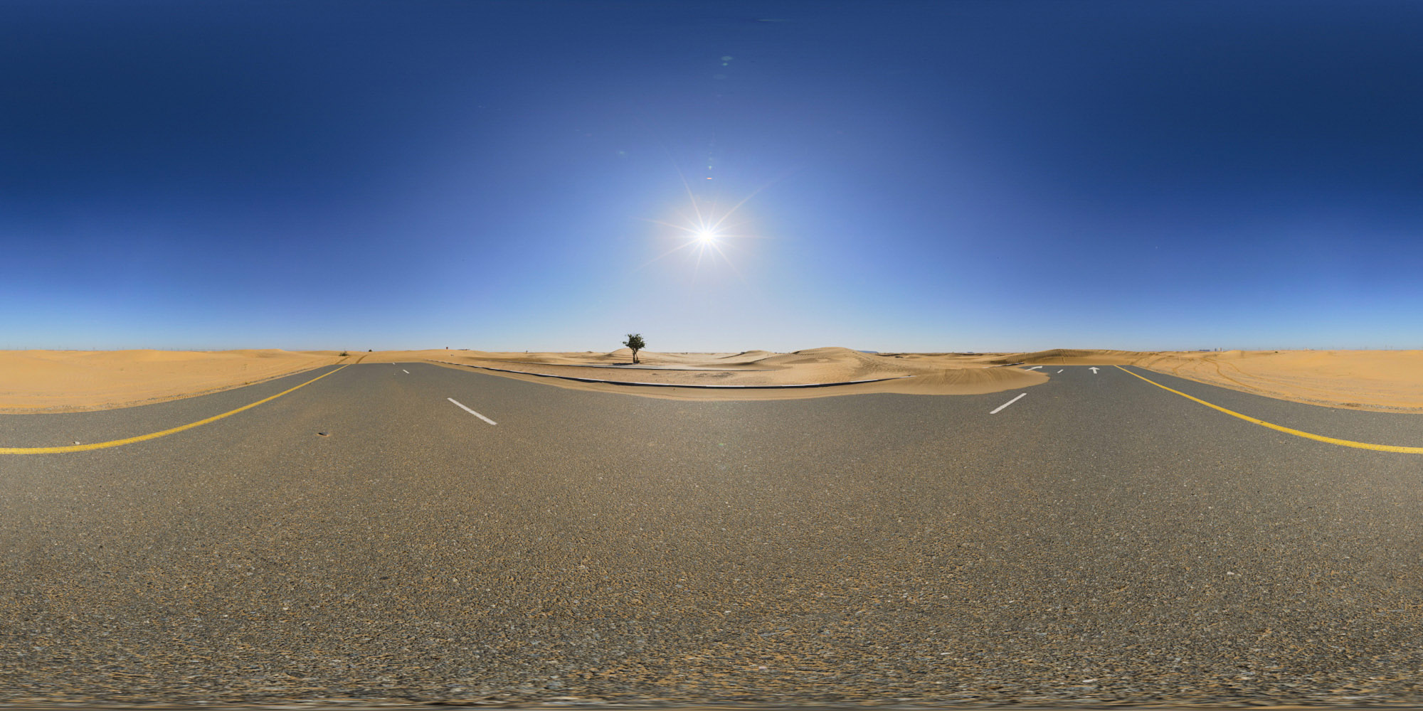
Full Drone Location Sets with matched 360° HDRI Maps
Our eyes in the sky capture many variants of the scene from the air, from wide lensed high view shots, to closer to ground scenes that give you that slightly higher top view of your rendered data. We dont just offer a few images in each set, you’ll get a full selection of high view scenes with a matched ground level 360° HDRI, adding full scene integration of your rendered CAD.


Freedom without Compromise
We utilise the latest drone technology available to ensure that all of our drone captured photography has the best visual fidelity. The pixel quality matches that of conventional high-end DSLR imagery, and the 360° HDRI maps collected on the ground of the matched location are up to 35,000px wide, with a file size in excess of 450 megapixels.


